Maritime Geospatial Warfare Unit Completes Force Generation Activity
The Maritime Geospatial Warfare Unit successfully conducted a two-week operational training activity to enhance hydrographic and geospatial skills. This initiative involved personnel from various locations, reinforcing teamwork and advancing capabilities in autonomous systems.
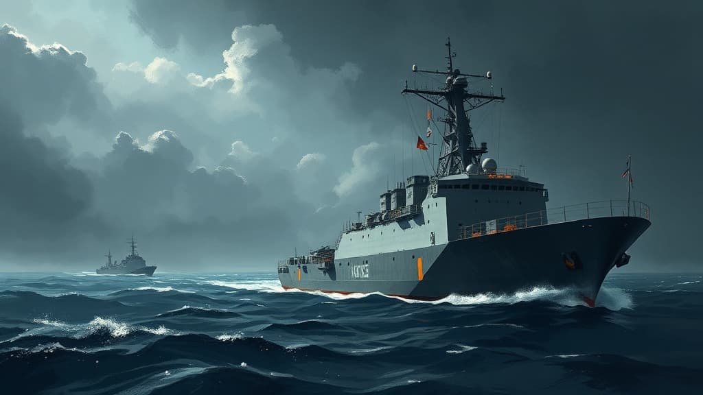
The Maritime Geospatial Warfare Unit (MGWU) recently completed a two-week operational activity aimed at enhancing hydrographic practices aligned with the 2026 National Defence Strategy. The training included deploying personnel to HMAS Penguin, where they operated in a 'safe-to-fail' environment to test innovative hydrographic survey techniques using autonomous systems such as the REMUS 100S, Gavia AUV, and Sonobot USVs.
The activity produced terabytes of data, improving tactical decision-making and geospatial intelligence understanding. Furthermore, MGWU strengthened stakeholder engagement with various defense units and introduced complex scenarios to test coordination and mission command. Overall, the training emphasized resilience and adaptability among personnel in dynamic environments.


Comments